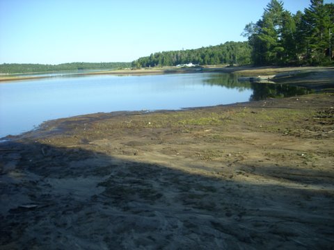
Surface Limits
The Ottawa River Regulation Planning Board
Upper: 360.88
Lower: 356.16
Difference: 15.5 feet
The Ottawa River Regulation Planning Board
Upper: 360.88
Lower: 356.16
Difference: 15.5 feet
2011
July 26th: 360.21m, 0.67m, 2.20ft
July 19th: 360.22m, 0.66m, 2.17ft
July 12th: 360.28m, 0.59m, 1.94ft
July 5th: 360.35m, 0.53m, 1.74ft
June 28th: 360.38m, 0.50m, 1.64ft
June 21st: 360.41m, 0.47m, 1.51ft
June 14th: 360.44m, 0.44m, 1.44ft
June 7th: 360.39m, 0.49m, 1.61ft
May 31st: 360.35m, 0.53m, 1.74ft
July 19th: 360.22m, 0.66m, 2.17ft
July 12th: 360.28m, 0.59m, 1.94ft
July 5th: 360.35m, 0.53m, 1.74ft
June 28th: 360.38m, 0.50m, 1.64ft
June 21st: 360.41m, 0.47m, 1.51ft
June 14th: 360.44m, 0.44m, 1.44ft
June 7th: 360.39m, 0.49m, 1.61ft
May 31st: 360.35m, 0.53m, 1.74ft
April 28th: 359.65m, 1.23m, 4.03ft
2010
2010
Oct 12th: 358.32m, 2.56m 8.40ft
Sep 14th: 358.16m, 2.72m 8.92ft
Sep 7th: 358.13m, 2.75m 9.02ft
Aug 24th: 358.11m, 2.77m 9.09ft
Aug 17th: 358.11m, 2.77m 9.09ft
Aug 11th: 358.11m, 2.77m 9.09ft
Aug 3rd: 358.11m, 2.77m 9.09ft
Jul 27th: 358.22m, 2.66m 8.72ft
Jul 20th: 358.40m, 2.48m 8.13ft
Jul 13th: 358.70m, 2.18m 7.15 ft
Jul 6th: 359.00m, 1.88m 6.17 ft
Great Week for Walleye Fishing
>= 7.00ft Sterns Pass Closed
>= 9.00ft WaWa Pass Closed